Freedom Park
"Scientific evidence demonstrates that regularly observing natural landscapes of remarkable character, especially when combined with respite from daily responsibilities, fresh air, and varied routines, promotes the health and vitality of individuals beyond what any other circumstances can provide." — Frederick Law Olmsted, Sr.
Spanning more than 200 acres, Freedom Park ranks among Atlanta's most expansive public green spaces. Beyond its impressive scale and scenic beauty, the park holds significance for multiple compelling reasons:
- The western section of the park serves as a vital connector between numerous historical landmarks on the Atl Freedom Path, including the Carter Center, the Carter Library, and the Martin Luther King Jr. National Historical Park.
- The park owes its existence to a proposed interstate highway that was never built, resulting in its distinctive cross-shaped configuration, clearly visible in the illustrated map provided below.
- The southern section, traversing the historic Inman Park neighborhood, marks the location where the Battle of Atlanta unfolded on July 22, 1864.

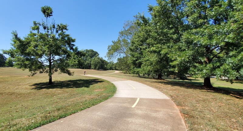
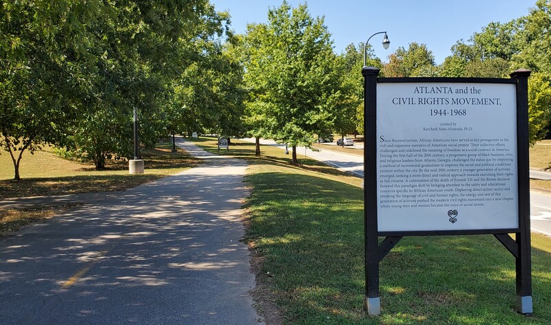
The Four Pathways of Freedom Park
Freedom Park extends in four distinct directions from the Carter Center, creating unique trail experiences in each cardinal direction...
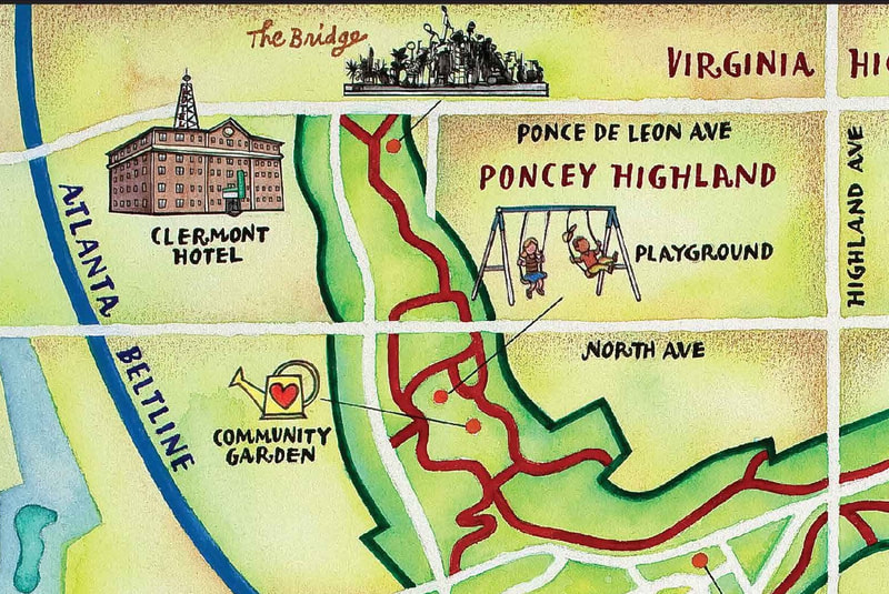
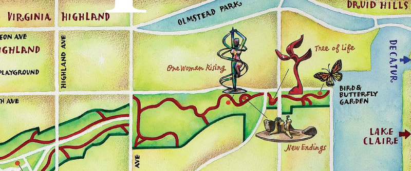
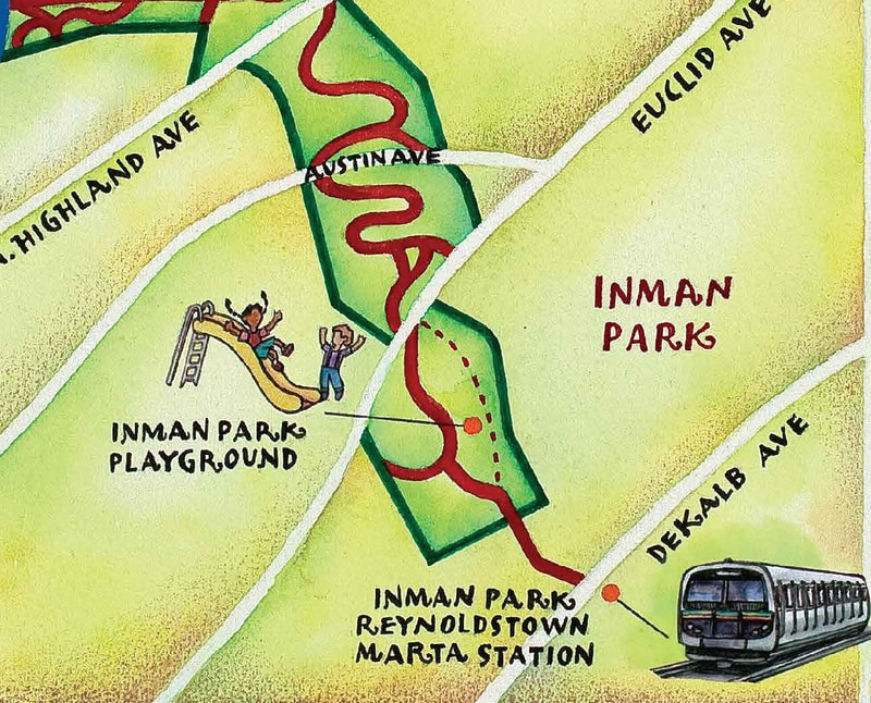
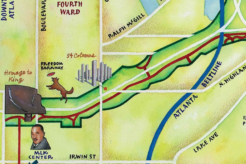
The interactive mapping tool below was developed to assist visitors in navigating and exploring all four pathways of Freedom Park...
Maps and Navigation
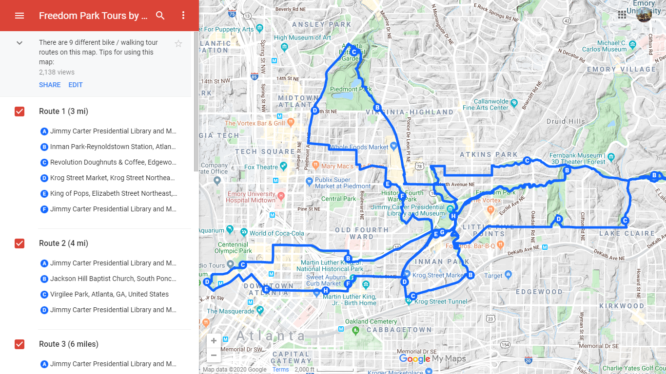
Click the image above to access the full Interactive Map in a new window
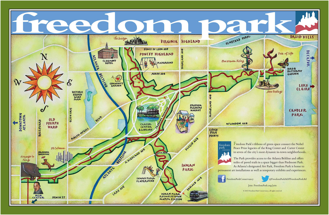
Click the image above to download a Printable Map in a new window
Notable Destinations
Visitor Information
Reaching Freedom Park
- Heritage Trail Interactive Map
- Directions via Google Maps
- Freedom Park connects to the Stone Mountain Trail
- Approximately one mile walking distance from the Inman Park MARTA Station
- While the park itself lacks dedicated parking facilities, several adjacent Heritage Trail sites offer parking, including the Carter Center, Jimmy Carter Library, and MLK Historical Park